- Daily & Weekly newsletters
- Buy & download The Bulletin
- Comment on our articles
Google Street View cars cruising Belgium for updated images
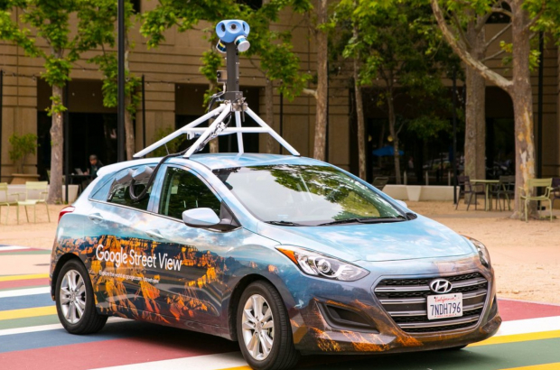
The Google Street View cars are cruising Belgium’s streets as we speak to create updated info for the Street View option on Google Maps. The cars are expected to have recorded every street in the country by mid-October and will upload them all by the end of the year.
The current Street View images date from 2017. “We regular update the imagery in the 87 countries where we are active,” said Michiel Sallaets of Google Belgium and Luxembourg. “The world doesn’t stand still, there are constantly new buildings, restaurants, etc.”
The cars are equipped with a camera on the roof, but harder-to-reach spots are often photographed on foot. In Belgium, some 150,000 kilometres of public roads are shot for Street View.
Google stitches together images to create flow for viewers. The digital media giant also considers the best time of year to photograph a particular area and takes population density into account so that as few people as possible are in the shots.
All licence plate numbers are blurred out. People can also request that their homes be blurred out on Street View. The Google service was launched in the US in 2007 and arrived in Belgium in 2009.


Comments
"The digital media giant also considers the best time of year to photograph a particular area and takes population density into account so that as few people as possible are in the shots."
They just missed the opportunity of a lifetime to take pictures of our streets without anyone on them.