- Daily & Weekly newsletters
- Buy & download The Bulletin
- Comment on our articles
Underground Brussels mapped to determine where to plant trees
Brussels-City is creating a map of infrastructure below the ground in order to plan green space more efficiently. The pilot project will begin in the EU quarter and lower Laeken.
The idea is to immediately plant trees where possible and, over the long term, to simplify urban planning when it comes to trees and green space. “Today, designating green space comes at the tail end of an urban planning project,” Brussels-City councillor Ans Persoons, responsible for urban development, told Bruzz. “And then it turns out that we can’t plant trees where we wanted to. That’s because it’s chaos under surface, with telecoms cables and gas and water pipes everywhere. And that’s not even mentioning the parking garages, metro lines and train tunnels.”
So instead of planning green space at the end, the process will be turned around, with green space being situated where possible first. “Everywhere we can find a space, we are going to plant a tree,” said Persoons.
2,000 trees
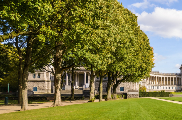
The project is part of the municipality’s promise to plant 2,000 trees over the next five years. The pilot project will see an underground map drawn up the EU district and lower part of Laeken, both short on big trees, said Persoons. It will then be assessed where enough space and depth is available to accommodate a solid root system and wide crown.
The two districts were chosen because they are home to an awful lot of concrete. “Lower Laeken is very densely built and doesn’t offer much in terms of quality public space,” explained Persoons. As for the EU district, there are parks, but not enough trees, she finds. “And if we make the area more green, it will be a nicer place to live; right now it’s all office buildings.”
The corona crisis has also sent a message to city planners. “It showed how crucial it is to be able to access green spaces,” she said. “Every resident of Brussels should be able to walk green space in a matter of a few minutes.”
If the pilot project proves successful, the underground mapping will be rolled out to more neighbourhoods in Brussels-City.
Photo: ©Jean-Paul Remy/Visit Brussels


