- Daily & Weekly newsletters
- Buy & download The Bulletin
- Comment on our articles
Brussels becomes first Belgian city to feature on new Google Advanced Maps
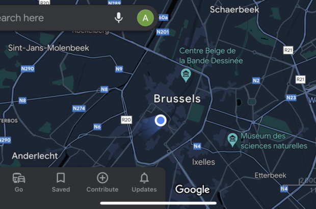
Brussels is the first Belgian city to benefit from the 'Detailed Street Maps' feature on Google Maps, the web giant announced last week.
Users who use this navigation service in Brussels can now receive very detailed information about the city, including the location of sidewalks and pedestrian crossings, but also the shape and width of the streets. This information can help them choose the most appropriate and safest route, especially when travelling in a wheelchair or stroller, for example.
Brussels was chosen by Google to be the first Belgian city to be covered by the new feature, which will be available in more than 50 cities around the world, including Berlin, Singapore and Seattle, by the end of the year.
"It is through the use of artificial intelligence that Google has a better understanding of urban environments at the international level," says the developers. "Since its launch of Google Maps 15 years ago, Google has redefined the term."


